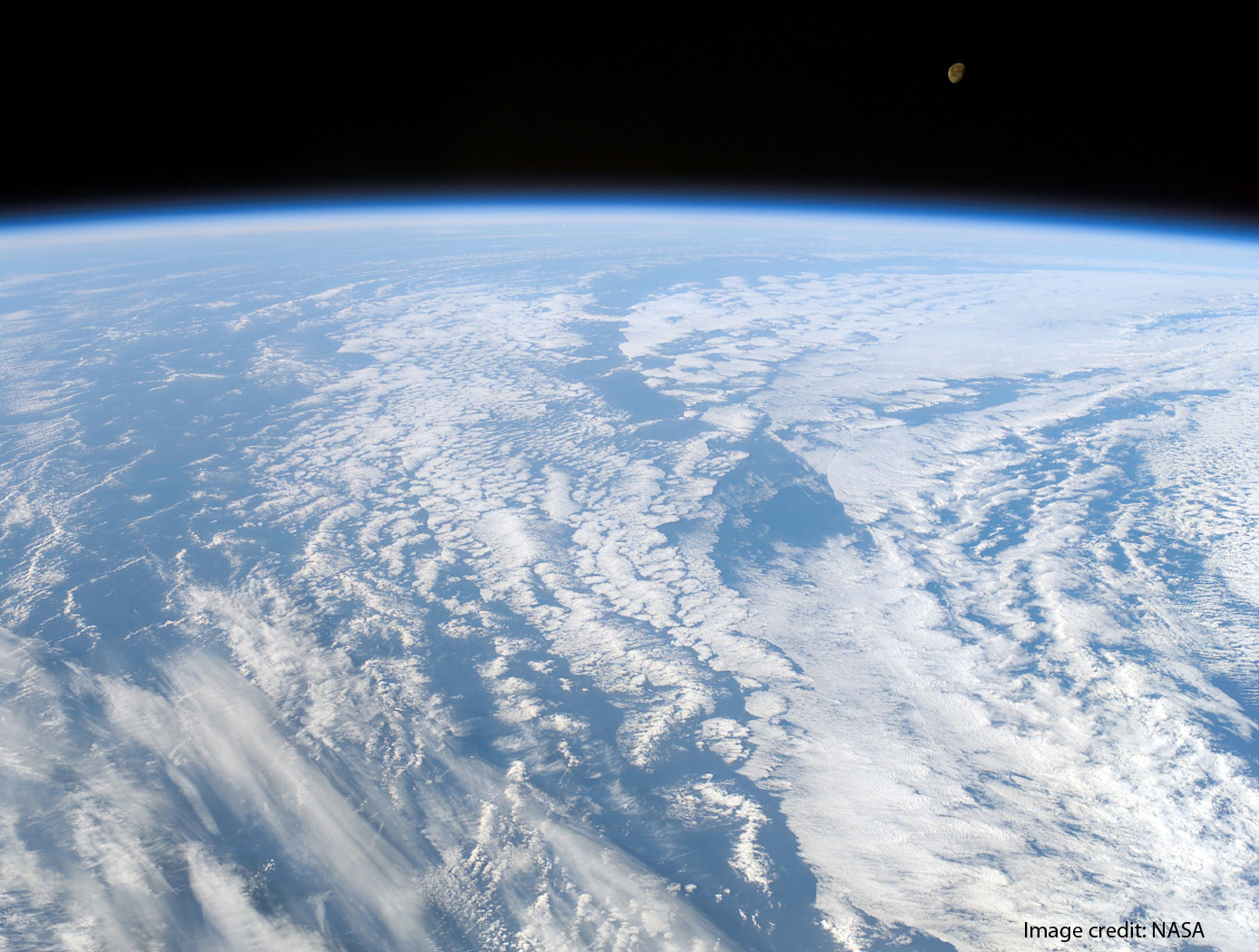
High Altitude UAV for Monitoring Meteorological Parameters
Sensors
High Altitude UAV for Monitoring Meteorological Parameters (LAR-TOPS-281)
Infrasonic acoustics for weather monitoring
Overview
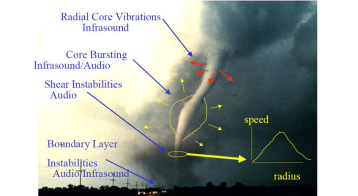
Acoustical studies of atmospheric events like convective storms, tornadoes, shear-induced turbulence, microbursts, acoustic gravity waves and hurricanes over the last fifty years have established that these events are strong emitters of infrasound. Current methods to forecast near term weather phenomenon is EM based radar and data from radiosondes. Radar is an active remote sensor which has limited range and there is the possibility that radar beams will overshoot the mesocyclonic circulation. There is also a possibility that mesocyclonic circulation cannot be detected because of the conal region immediately above the radar set.
The Technology
Radiosondes are launched twice a day from different locations of the world and meteorological data is collected to plot the STUV diagram and determining CAPE (Cumulative Average Potential Energy) values. Radiosondes are not re-usable and used only at pre-determined locations around the globe. Moreover, a radiosonde can drift up to 125 miles from its release point. About 75,000 radiosondes are used every year.
Given this unmet need, an inventor at NASA has developed an advanced airborne meteorological system which can provide meteorological parameters at any location at any desired time. In additional to routinely used meteorological sensors, an infrasonic sensor is also included to determine wind shear at local and regional levels. The airborne system may also be used in towns and cities to track drones and UAVs in the area. The airborne vehicle (UAV or drone) should be able to track seismic waves, magnetic storms, magneto-hydrodynamic waves, tornadoes, meteor, and lightning, etc. This technology can be use to measure environmental turbulence including wind shear, vortices as well as large and small eddies is an important factor in forecasting local and regional weather. It can also detect infrasound at ranges of many miles from the source and the shape of the acoustic power spectrum can be used to identify type of turbulence in the atmosphere.


Benefits
- Less costly than radiosondes
- Storm tracking
- More efficient & more sensitive
- Controllable
Applications
- Monitoring of drone or UAV activity
- Replacement of radiosondes
Similar Results

Infrasound Sensor Technology
Large aircraft can generate air vortices in their wake, turbulence that can prove hazardous to aircraft that follow too closely. Because wake vortices are invisible, all takeoffs at busy airports are spaced several minutes apart. This separation gives the vortices time to dissipate, even though they only occur 10% of the time, with resulting loss of operational efficiency. Similarly, clear air turbulence is invisible and can also be hazardous to aircraft. By detecting such disturbances through their infrasound emissions, precautions can be taken to avoid them.
Other phenomena can be detected through infrasound, including tornadoes, helicopters on the other side of mountains, underground nuclear explosions and digging tunnels. Through the unique properties of infrasound, many of these can be detected from hundreds of miles away. NASA's infrasound sensor is a highly refined microphone that is capable of detecting acoustic waves from 20 Hz down to dc, the infrasound range. The design is robust and compact, eliminating the bulk and weight found in other technologies. Where most alternative methods are restricted to certain weather conditions and locations,
the NASA sensor filters noise from wind and other sources, allowing its use under any weather or geographic conditions.

Low Frequency Portable Acoustic Measurement System
Langley has developed various technologies to enable the portable detection system, including:
- 3-inch electret condenser microphone - unprecedented sensitivity of -45 dB/Hz
- compact nonporous windscreen - suitable for replacing spatially demanding soaker hoses in current use
- infrasonic calibrator for field use - piston phone with a test signal of 110 dB at 14Hz.
- laboratory calibration apparatus - to very low frequencies
- vacuum isolation vessel - sufficiently anechoic to permit measurement of background noise in microphones at frequencies down to a few Hz
- mobile source for reference - a Helmholtz resonator that provides pure tone at 19 Hz
The NASA system uses a three-element array in the field to locate sources of infrasound and their direction. This information has been correlated with PIREPs available in real time via the Internet, with 10 examples of good correlation.

Vortex Radiometer for Wireless Communications
The Vortex Radiometer (VR) creates concentric, annular antenna beam patterns that measure sky-noise temperature. Annular antenna patterns are created by imparting orbital angular momentum into the electric field received by the antenna using spiral phase plates placed in front of the antenna aperture, generating multiple radiometer channels. Data points are then collected by plotting the measured noise temperature of each radiometer channel as a function of time. Noise temperature increases as a noise source (e.g., weather-related noise, signal interference, etc.) traverses the antenna beam patterns. An algorithm is then used to correlate noise temperature peaks in adjacent beams and to determine when a fade will occur, how long the fade will last, and how intense the fade will be. With this information, effective and efficient strategies can be implemented using cognitive communication and antenna systems to autonomously select the optimum fade-mitigation technique and parameter (e.g., increasing the transmission power, adjusting the modulation and/or coding scheme, etc.).
NASA's VR system has been prototyped, including the radiometer device and the algorithm for characterizing noise sources based on VR data. Simulations have shown that a VR system can instruct an existing cognitive antenna to switch between Ka- and X-Band communications in order to avert interference from small diameter noise sources.
Any high-performance communication systems operating in RF or optical frequencies may benefit from NASA's VR capabilities.

Space Weather Database Of Notifications, Knowledge, Information (DONKI)
The Space Weather DONKI builds a catalog of past, present, ongoing, and expected Space Weather events. The catalog contains both forecaster logs and notifications. DONKI version 2.0 of has a comprehensive web-service API access for users to obtain space weather events stored in the database. The database consists of a backend and a web application. The database uses a framework that allows modularization of code and promotes code reuse.
DONKI is the first application to allow space weather scientists to store all space weather events in one centralized data center. The comprehensive database provides search capability to support scientists allowing them to look into linkages, relationships, and cause-and-effects between space weather activities.

Wind Event Warning System
The Wind Event Warning System (WEWS) is high-energy Doppler LIDAR sensor that measures approaching changes of wind such as an oncoming variation of wind speed that will change the power output of a wind farm. Different from low-energy, the high-energy Doppler LIDAR has the energy to reach the long distances necessary to provide adequate warning time of a wind event. With the time provided by WEWS, the blades of a wind turbine could be feathered to prevent strong wind from damaging the turbine. In addition, airports could use WEWS to protect aircraft from sudden wind hazards.


