Search
PATENT PORTFOLIO

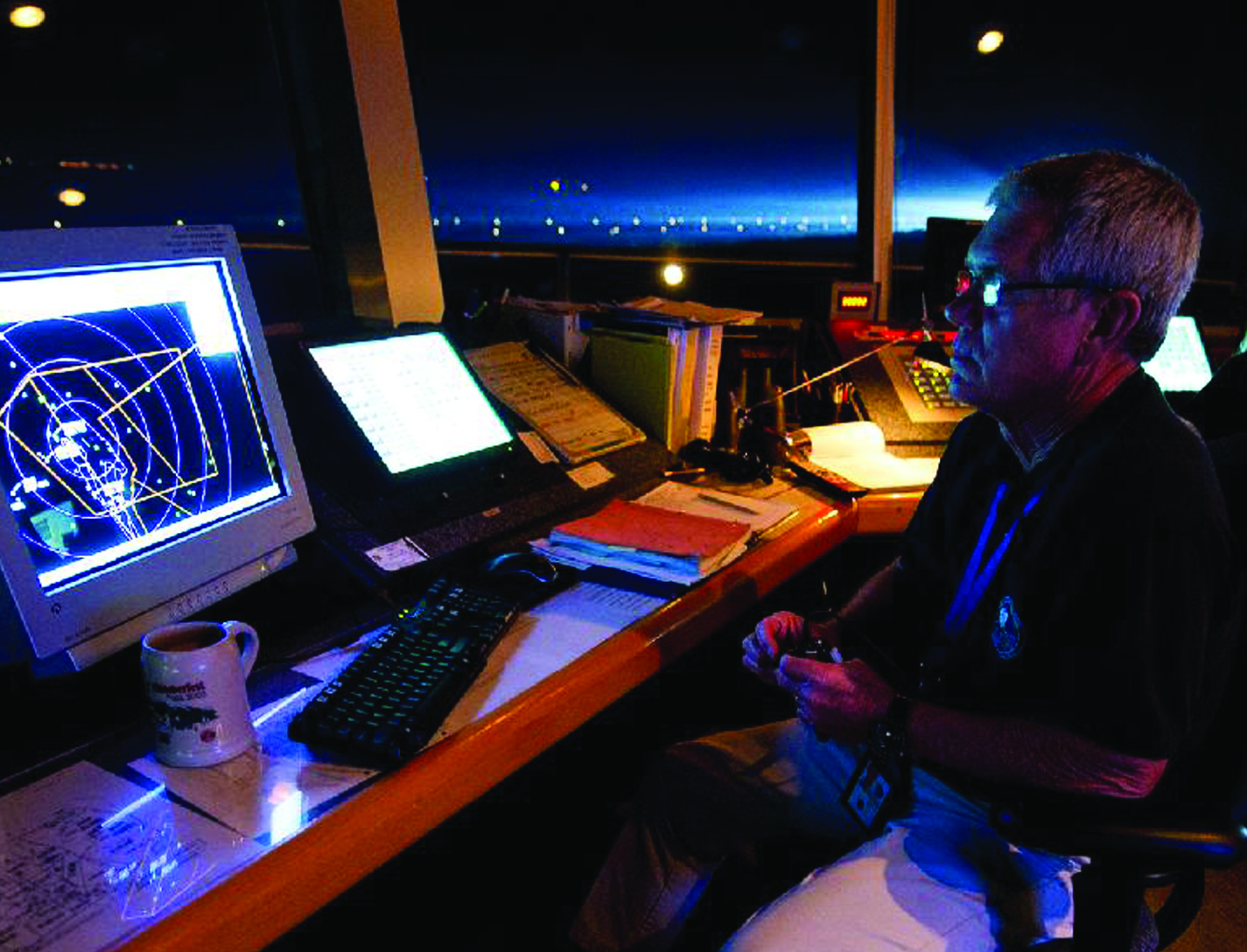
FACET: Future Air Traffic Management Concepts Evaluation Tool
Actual air traffic data and weather information are utilized to evaluate an aircrafts flight-plan route and predict its trajectories for the climb, cruise, and descent phases. The dynamics for heading (the direction the aircraft nose is pointing) and airspeed are also modeled by the FACET software, while performance parameters, such as climb/descent rates and speeds and cruise speeds, can also be obtained from data tables. The resulting trajectories and traffic flow data are presented in a 3-D graphical user interface. The FACET software is modular and is written in the Java and C programming languages. Notable FACET applications include reroute conformance monitoring algorithms that have been implemented in one of the Federal Aviation Administrations nationally deployed, real-time operational systems.

Unmanned Aerial Systems (UAS) Traffic Management
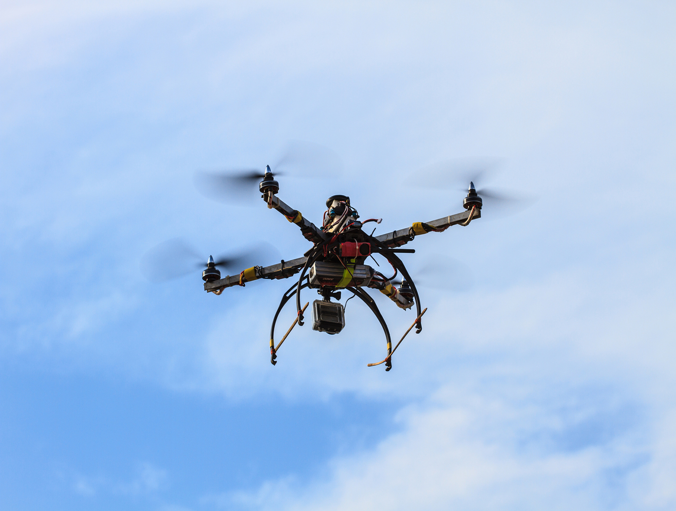
NASA Ames has developed an Autonomous Situational Awareness Platform system for a UAS (ASAP-U), a traffic management system to incorporate Unmanned Aerial Systems (UASs) into the National Airspace System. The Autonomous Situational Awareness Platform (ASAP) is a system that combines existing navigation technology (both aviation and maritime) with new procedures to safely integrate Unmanned Aerial Systems (UASs) with other airspace vehicles. It uses a module called ASAP-U, which includes a transmitter, receivers, and various links to other UAS systems. The module collects global positioning system GPS coordinates and time from a satellite antenna, and this data is fed to the UAS's flight management system for navigation. The ASAP-U module autonomously and continuously sends UAS information via a radio frequency (RF) antenna using Self-Organized Time Division Multiple Access (SOTDMA) to prevent signal overlap. It also receives ASAP data from other aircraft. In case of transmission overload, priority is given to closer aircraft. Additionally, the module can receive weather data, navigational aid data, terrain data, and updates to the UAS flight plan. The collected data is relayed to the flight management system, which includes various databases and a navigation computer to calculate necessary flight plan modifications based on regulations, right-of-way rules, terrain, and geofencing. Conflicts are checked against databases, and if none are found, the flight plan is implemented. If conflicts arise, modifications can be made. The ASAP-U module continuously receives and transmits data, including UAS data and data from other aircraft, to detect conflicts with other aircraft, terrain, weather, and geofencing. Based on this information, the flight management system determines the need for course adjustments and the flight control system executes them for a safe flight route.

Space Traffic Management (STM) Architecture
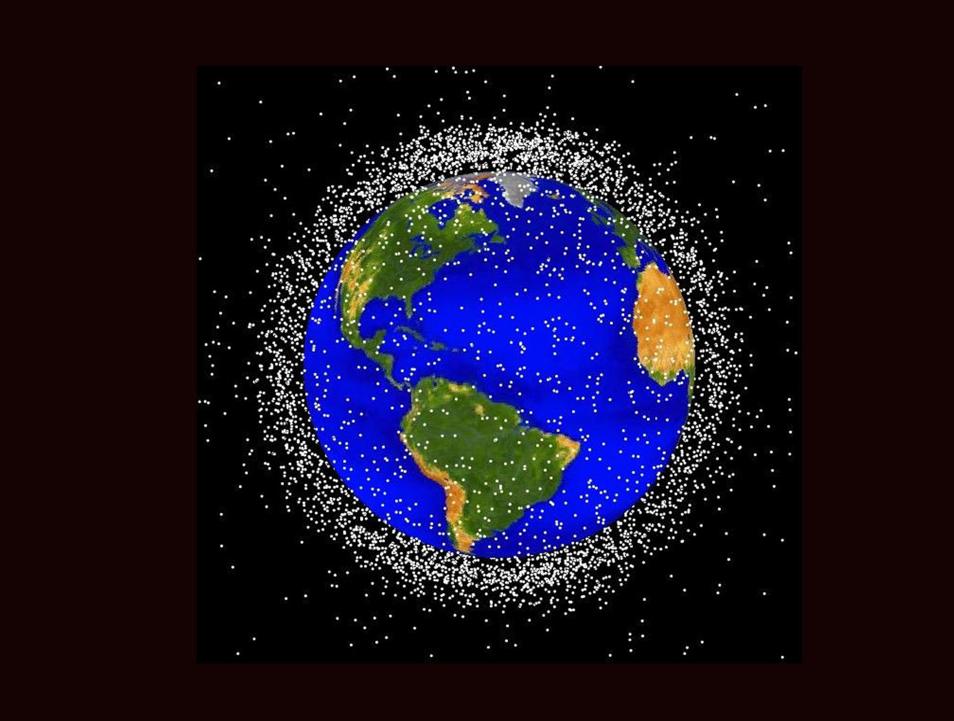
As ever larger numbers of spacecraft seek to make use of Earth's limited orbital volume in increasingly dense orbital regimes, greater coordination becomes necessary to ensure these spacecraft are able to operate safely while avoiding physical collisions, radio-frequency interference, and other hazards. While efforts to date have focused on improving Space Situational Awareness (SSA) and enabling operator to operator coordination, there is growing recognition that a broader system for Space Traffic Management (STM) is necessary. The STM architecture forms the framework for an STM ecosystem, which enables the addition of third parties that can identify and fill niches by providing new, useful services. By making the STM functions available as services, the architecture reduces the amount of expertise that must be available internally within a particular organization, thereby reducing the barriers to operating in space and providing participants with the information necessary to behave responsibly. Operational support for collision avoidance, separation, etc., is managed through a decentralized architecture, rather than via a single centralized government-administered system.
The STM system is based on the use of standardized Application Programming Interfaces (API) to allow easier interconnection and conceptual definition of roles to more easily allow suppliers with different capabilities to add value to the ecosystem. The architecture handles basic functions including registration, discovery, authentication of participants, and auditable tracking of data provenance and integrity. The technology is able to integrate data from multiple sources.

Vision-based Approach and Landing System (VALS)
The novel Vision-based Approach and Landing System (VALS) provides Advanced Air Mobility (AAM) aircraft with an Alternative Position, Navigation, and Timing (APNT) solution for approach and landing without relying on GPS. VALS operates on multiple images obtained by the aircraft’s video camera as the aircraft performs its descent. In this system, a feature detection technique such as Hough circles and Harris corner detection is used to detect which portions of the image may have landmark features. These image areas are compared with a stored list of known landmarks to determine which features correspond to the known landmarks. The world coordinates of the best matched image landmarks are inputted into a Coplanar Pose from Orthography and Scaling with Iterations (COPOSIT) module to estimate the camera position relative to the landmark points, which yields an estimate of the position and orientation of the aircraft. The estimated aircraft position and orientation are fed into an extended Kalman filter to further refine the estimation of aircraft position, velocity, and orientation. Thus, the aircraft’s position, velocity, and orientation are determined without the use of GPS data or signals. Future work includes feeding the vision-based navigation data into the aircraft’s flight control system to facilitate aircraft landing.

Multistage Free-Flight Testing System
The disclosed technology provides a multistage system for evaluating the free-flight behavior of test articles across of the supersonic, transonic, and subsonic regimes. First, a drop platform is lifted to high altitudes using a lifting device, such as a stratospheric balloon. The drop platform houses multiple projectiles, each containing an ejection mechanism, an on-board avionics suit, and an instrumented test article. Upon reaching the target altitude via the lifting device, the drop platform releases the projectiles sequentially. Each projectile accelerates to a target speed and altitude before ejecting its test article into the freestream. The test articles, such as a scaled re-entry capsule, then collect flight data during their descent through the various Mach regimes, providing valuable insights into their flight performance under mission-relevant conditions.
This innovative testing system offers several benefits. It enables the simultaneous testing of multiple vehicles, facilitating the evaluation of design variations as well as statistical analyses of vehicle behavior. This system also provides significant cost savings in comparison to other state-of-the-art testing methods, such as ballistic range testing. Additionally, the test articles within each projectile are easily interchangeable through a simple, modular change of a support surface in the ejection mechanism. This flexibility enables the system to accommodate a range of other aerodynamic technologies, including other vehicles, parachutes, propulsion systems, and defense technologies. This system can enhance the efficiency and robustness of reentry vehicle design, testing, and simulation operations through the collection of rich, flight-relevant data.

Affordable Vehicle Avionics (AVA)
Significant contributors to the cost of launching nano- and micro-satellites to orbit are the costs of software, and Guidance, Navigation and Control (GNC) avionics systems that steer, navigate and control the launch vehicles, sequence stage separation, deploy payloads, and pass data to Telemetry. The high costs of these GNC avionics systems are due in part to the current practice of developing unique, custom, single-use hardware and software for each launch, and requiring high-precision measurements of position and attitude states. NASA Ames Research Center has developed and tested a low-cost avionics system prototype called Affordable Vehicle Avionics (AVA). AVA integrates a low-cost moderately-precise sensor suite with an advanced error-correcting software package to provide GNC for space launch vehicles in a package smaller than a multilayer sandwich (100 mm x 120 mm x 69 mm; 4in x 4.7in x 2.7in), and with a mass of less than 0.84kg (2lbs). The invention provides a common suite of avionics components and demonstration software that deliver affordable, capable GNC with flexible I/O which is applicable to a variety of nano/micro-sat launch vehicles at less than 10 percent of the cost to procure current state-of-the-art GNC avionics. Affordable Vehicle Avionics' (AVA's) approach to drastically reduce costs includes: (1) use of low-cost "tactical-grade" Commercial-off-the-Shelf MicroElectroMechanical Systems (MEMS) inertial measurement unit, wherein adequate navigation precision is achieved by fusing outputs from a Global Positioning System receiver, inertial sensors and a magnetic field vector sensor in an extended Kalman filter formulation that corrects inertial sensor biases; (2) a streamlined "cookbook" approach to define an effective process for launch vehicle developers to design, simulate, verify and support assembly, integration and testing of their SLVs, driven by high-fidelity six degrees of freedom SLV simulations and real-time hardware-in-loop tests to validate guidance, navigation and control for early test flights.
Development Status:
As of spring 2020, AVA has flown twice in its current configuration on a suborbital platform. Its navigation and control functions were successfully demonstrated for roll-rate control within a tight deadband onboard the first flight test, and it successfully issued attitude pointing commands to a failed reaction control subsystem and it issues issued a rocket-motor ignition command on a second flight test. To date, failure of SLV components other than AVA (e.g., electrical power) has precluded demonstration of navigation and control of an orbital or sub-orbital launch system, which remains to be demonstrated.
AVA development was accomplished using a single magnetometer-based magnetic field vector sensor to provide attitude observability during free-fall (inter-stage coast periods). Therefore, the current tested AVA configuration is susceptible to magnetic/electric fields produced by other components and payloads onboard the SLV, so care must be exercised to either mount AVA well away from sources of such fields and or to incorporate magnetic/electric field barriers on field emitters if separation from emitters is inadequate. Also, licensees may wish to provide new AVA inputs from a pair of external horizon sensors to provide more accurate attitude navigation during coast phases of the SLV mission.

Method and Device for Biometric Verification and Identification
The advantage of using cardiac biometrics over existing methods is that heart signatures are more difficult to forge compared to other biometric devices. Iris scanners can be fooled by contact lenses and sunglasses, and a segment of the population does not have readable fingerprints due to age or working conditions. Previous electrocardiographic signals employed a single template and compared that template with new test templates by means of cross-correlation or linear-discriminant analysis.The benefit of this technology over competing cardiac biometric methods is that it is more reliable with a significant reduction in error rates. The benefit of this technology is that it creates a probabilistic model of the electrocardiographic features of a person instead of a single signal template of the average heartbeat. The probabilistic model described as Gaussian mixture model allows various modes of the feature distribution, in contrast to a template model that only characterizes a mean waveform. Another advantage is that the model uses both physiological and anatomical characterization of the heart, unlike other methods that mainly use only physiological characterization of the heart. By combining features from different leads, the heart of the person is better characterized in terms of anatomical orientation because each lead represents a different projection of the electrical vector of the heart. Thus, employing multiple electrocardiographic leads provides a better performance in subject verification or identification.

Contaminated Water Treatment
This invention is a system and associated method that is a two step process. It provides a contaminant treatment pouch, referred to as a urine cell or contaminant cell that converts urine or another liquid containing contaminants into a fortified drink, engineered to meet human hydration, electrolyte and caloric requirements. It uses a variant of forward osmosis (FO) to draw water from a urine container into the concentrated fortified drink as part of a recycling stage. An activated carbon pretreatment removes most organic molecules. Salinity of the initial liquid mix (urine plus other) is synergistically used to enhance the precipitation of organic molecules so that activated carbon can remove most of the organics. A functional osmotic bag is then used to remove inorganic contaminants. If a contaminant is processed for which the saline content is different than optimal for precipitating organic molecules, the saline content of the liquid should be adjusted toward the optimal value for that contaminant.

Gas Sensors Based on Coated and Doped Carbon Nanotubes
A typical sensor device includes a set of interdigitated microelectrodes fabricated by photolithography on silicon wafer or an electrically insulating substrate. In preparation for fabricating the SWCNT portion of such a sensor, a batch of treated (coated or doped) SWCNTs is dispersed in a solvent. The resulting suspension of SWCNTs is drop-deposited or injected onto the area containing the interdigitated electrodes. As the solvent evaporates, the SWCNTs form a mesh that connects the electrodes. The density of the SWCNTs in the mesh can be changed by varying the concentration of SWCNTs in the suspension and/or the amount of suspension dropped on the electrode area. To enable acquisition of measurements for comparison and to gain orthogonality in the sensor array, undoped SWCNTs can be similarly formed on another, identical set of interdigitated electrodes. Coating materials tested so far include chlorosulfonated polyethylene. Dopants that have been tested include Pd, Pt, Au, Cu and Rh nanoparticle clusters. To date, the sensor has been tested for NO2, NH3, CH4, Cl2, HCl, toluene, benzene, acetone, formaldehyde and nitrotoulene.
View more patents


