Search
Sensors

Wide Field Receiver Calibration Device for Micro Pulse LiDAR
Below an MPL’s minimum overlap range, the return signals are not completely in the instrument’s field of view, so the receiver only captures a portion of the backscatter laser pulse. MPL overlap ranges vary, but is usually between 4-8 km, encompassing the lower atmosphere where most aerosols reside. Commonly, correction entails recording horizontal profiles that require a ~10 km clear line-of-sight and homogenous atmospheric conditions, limiting the solution’s practicality.
In contrast, NASA’s WFR device corrects for the overlap using a second receiver co-aligned with the MPL that captures the same backscattered laser pulses as the MPL receiver, but with a ~20x wider FOV that enables a much shorter overlap range from ~6 km down to 250 m. Thus, the combination of the WFR and MPL can capture accurate signals from near surface to the stratosphere. The WFR utilizes the same detector as the MPL, enabling it to connect to the MPL data system for synced data acquisition. By eliminating the need for homogeneous horizontal measurements to determine the MPL overlap function, overlap corrections are more easily and more frequently obtained. Further, the WFR mount base was designed to easily integrate with MPLs.
NASA originally developed this device to improve accuracy of MPLs in the MPLNET, ensuring data collected are both accurate and reliable, thereby enhancing our understanding of atmospheric processes and contributing to more informed climate research and environmental modeling. The technology’s operational ease, flexibility, and cost savings are relevant to a wide range of scientific, environmental, and industrial applications. Companies that manufacture and sell MPLs may wish to offer this advanced calibration device as a product to enhance accuracy of MPL-based measurements. This NASA technology is at TRL 8 (Actual system completed and "flight qualified" through test and demonstration.) and is available for patent licensing.
Aerospace
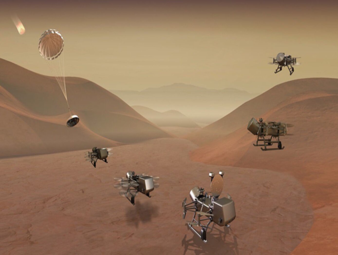
3D Lidar for Autonomous Landing Site Selection
Aerial planetary exploration spacecraft require lightweight, compact, and low power sensing systems to enable successful landing operations. The Ocellus 3D lidar meets those criteria as well as being able to withstand harsh planetary environments. Further, the new tool is based on space-qualified components and lidar technology previously developed at NASA Goddard (i.e., the Kodiak 3D lidar) as shown in the figure below.
The Ocellus 3D lidar quickly scans a near infrared laser across a planetary surface, receives that signal, and translates it into a 3D point cloud. Using a laser source, fast scanning MEMS (micro-electromechanical system)-based mirrors, and NASA-developed processing electronics, the 3D point clouds are created and converted into elevations and images onboard the craft. At ~2 km altitudes, Ocellus acts as an altimeter and at altitudes below 200 m the tool produces images and terrain maps. The produced high resolution (centimeter-scale) elevations are used by the spacecraft to assess safe landing sites.
The Ocellus 3D lidar is applicable to planetary and lunar exploration by unmanned or crewed aerial vehicles and may be adapted for assisting in-space servicing, assembly, and manufacturing operations. Beyond exploratory space missions, the new compact 3D lidar may be used for aerial navigation in the defense or commercial space sectors. The Ocellus 3D lidar is available for patent licensing.
Optics
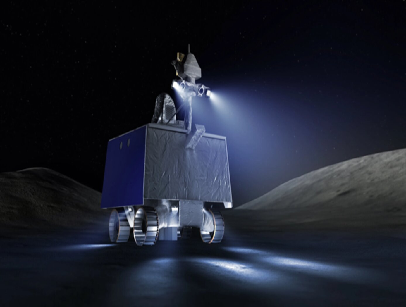
3D Lidar for Improved Rover Traversal and Imagery
The SQRLi system is made up of three major components including the laser assembly, the mirror assembly, and the electronics and data processing equipment (electronics assembly) as shown in the figure below. The three main systems work together to send and receive the lidar signal then translate it into a 3D image for navigation and imaging purposes.
The rover sensing instrument makes use of a unique fiber optic laser assembly with high, adjustable output that increases the dynamic range (i.e., contrast) of the lidar system. The commercially available mirror setup used in the SQRLi is small, reliable, and has a wide aperture that improves the field-of-view of the lidar while maintaining a small instrument footprint. Lastly, the data processing is done by an in-house designed processor capable of translating the light signal into a high-resolution (sub-millimeter) 3D map. These components of the SQRLi enable successful hazard detection and navigation in visibility-impaired environments.
The SQRLi is applicable to planetary and lunar exploration by unmanned or crewed vehicles and may be adapted for in-space servicing, assembly, and manufacturing purposes. Beyond NASA missions, the new 3D lidar may be used for vehicular navigation in the automotive, defense, or commercial space sectors. The SQRLi is available for patent licensing.
Sensors

Photon-Efficient Scanning LiDAR System
This new methodology selectively scans an area of interest and effectively pre-compresses the image data. Instead of using LiDAR resources to gather redundant data, only the necessary data is gathered and the redundancy can be used to fill in up-sampled data using intelligent completion algorithms. The system utilizes a unique LiDAR system to collect a pattern of specific points across a given area by modulating the incoming light, creating a pattern that can be decoded computationally to reconstruct a scene. By designing specific coding patterns, the system can strategically skip certain measurements during the scanning process to create an under-sampled image area.
The system reconstructs the under-sampled area to recreate an accurate representation of the original object or area being scanned. As a result, redundant data is prevented from being collected by reducing the number of required measurements and data condensed in post-collection to reduce power consumption. By selectively skipping certain pixels during the scan and using sophisticated recovery algorithms to reconstruct the omitted information, the system makes more efficient use of the available photons, thereby enhancing overall data collection.
This technology represents a significant advancement in LiDAR systems, offering a more useful method for data collection and processing and addresses the challenges of power consumption and data redundancy, allowing for more sustainable and effective remote sensing applications. This technology can offer advantages in applications such as mapping for construction, surveying, forestry, or farming as well as computer vision for vehicles or robotics.
Optics

Thermally-Adaptive Solid State Laser Crystal Mount
NASA’s laser mount technology introduces a unique flexible crystal mount to accommodate the dynamics of thermal expansion to eliminate unsymmetrical thermally induced mechanical stresses on the crystal. In addition, while the mount accommodates thermal expansion, it also offers fixed placement of the crystal to maintain alignment and provides continuous and uniform surface contact between the mount and crystal for rapid dissipation of heat. The mount is compatible with any heat sink reservoir.
The mount design allows unrestrained thermal expansion of the crystal in two dimensions (i.e. a- and c- axes) because of the design shown in the figure below.
The L-shape blocks also deliver cooling to the crystal by providing a path to the heat sink reservoir. The L-shape blocks are manufactured with a high thermal conductivity material such as copper. A softer material with high thermal conductivity such as indium is used to buffer the interface between the crystal and the L-shape blocks surfaces. A coolant medium acts to transfer the heat from the crystal to the cooled mount. Cooling can be provided in different ways – for example by water or by heat pipes with radiator (for use in space). The springs used to hold the laser crystal also provide the adjustment method to align the beam, and once aligned, the crystal mount is very stable.
The related patent is now available to license. Please note that NASA does not manufacture products itself for commercial sale.
Optics

LiDAR with Reduced-Length Linear Detector Array
The LiDAR with Reduced-Length Linear Detector Array improves upon a prior fast-wavelength-steering, time-division-multiplexing 3D imaging system with two key advancements: laser linewidth broadening to reduce speckle noise and improve the signal-to-noise ratio, and the integration of a slow-scanning mirror with wavelength-steering technology to enable 2D swath mapping capabilities. Range and velocity are measured using the time-of-flight of short laser pulses. This highly efficient LiDAR incorporates emerging technologies, including a photonic integrated circuit seed laser, a high peak-power fiber amplifier, and a linear-mode photon-sensitive detector array.
With no moving parts, the transmitter rapidly steers a single high-power laser beam across up to 2,000 resolvable footprints. Fast beam steering is achieved through an innovative high-speed wavelength-tuning technology and a single grating design that enables wavelength-to-angle dispersion while rejecting solar background for all transmitted wavelengths. To optimize receiver power and reduce data volume, sequential returns from up to 10 different tracks are time-division-multiplexed and digitized by a high-speed digitizer for surface ranging. Each track’s atmospheric return can be digitized in parallel at a lower resolution using an ultra-low-power digitizer.
Originally developed by NASA for SmallSat missions, this system’s precise and accurate observation capabilities—combined with reduced costs, size, weight, and power constraints—make it applicable to a wide range of LiDAR applications. The LiDAR with Reduced-Length Linear Detector Array is currently at Technology Readiness Level (TRL) 4 (validated in a laboratory environment) and is available for patent licensing.
Instrumentation

Reconfigurable Local Oscillator for Coherent Optical Detection
The innovation expands the range of signals that coherent optical receivers can detect. Unlike traditional systems with fixed LOs, this approach allows real-time adjustments to an LO’s properties, such as frequency, phase, polarization, amplitude, spatial mode, or timing, to better match incoming signals. These adjustments improve measurement accuracy and signal recovery in various scenarios, such as shifting heterodyne frequencies into the receiver’s bandwidth or adapting to different signal polarizations. The innovation lies in the ability to switch an LO's configurations on the fly using technologies like fiber-optic or integrated photonic switches, as well as other methods like optical modulation or tunable delay lines. This dynamic capability allows coherent receivers to switch seamlessly between range-Doppler and Doppler-only modes. As a result, a single system can track both nearby, slow-moving targets and distant, high-velocity objects (up to 20+ km/s) while operating with a compact, low-speed receiver (<1 GHz). This versatility significantly enhances the performance and adaptability of advanced optical sensing and communication systems.
While initially developed for NASA’s Navigation Doppler LiDAR project, this invention can support advanced signal detection applications across several industries, including optical communications, aerospace, structural health monitoring, and autonomous vehicles. By enabling real-time reconfiguration, the invention offers improved signal recovery, enhanced sensitivity, and broader system adaptability for challenging detection environments. The technology has gone through prototype development and is currently at TRL 3 (proof-of-concept), and the reconfigured LO is available for patent licensing.
Robotics Automation and Control

Anonymous Feature Processing for Enhanced Navigation
This concept presents a new statistical likelihood function and Bayesian analysis update for non-standard measurement types that rely on associations between observed and cataloged features. These measurement types inherently contain non-standard errors that standard techniques, such as the Kalman filter, make no effort to model, and this mismodeling can lead to filter instability and degraded performance.
Vision-based navigation methods utilizing the Kalman filter involve a preprocessing step to identify features within an image by referencing a known catalog. However, errors in this pre-processing can cause navigation failures. AFP offers a new approach, processing points generated by features themselves without requiring identification. Points such as range or bearing are directly processed by AFP.
Operating on finite set statistics principles, AFP treats data as sets rather than individual features. This enables simultaneous tracking of multiple targets without feature labeling. Unlike the sequential processing of the Kalman filter, AFP processes updates in parallel, independently scoring each output based on rigorous mathematical functions. This parallel processing ensures robust navigation updates in dynamic environments, and without requiring an identification algorithm upstream of the filter.
Computational simulations conducted at Johnson Space Center demonstrate that AFP's performance matches or exceeds that of the ideal Kalman filter, even under non-ideal conditions. Anonymous Feature Processing for Enhanced Navigation is at a technology readiness level (TRL) 4 (component and/or breadboard validation in laboratory environment) and is now available for patent licensing. Please note that NASA does not manufacture products itself for commercial sale.
Sensors

Receiver for Long-distance, Low-backscatter LiDAR
The NASA receiver is specifically designed for use in coherent LiDAR systems that leverage high-energy (i.e., > 1mJ) fiber laser transmitters. Within the receiver, an outgoing laser pulse from the high-energy laser transmitter is precisely manipulated using robust dielectric and coated optics including mirrors, waveplates, a beamsplitter, and a beam expander. These components appropriately condition and direct the high-energy light out of the instrument to the atmosphere for measurement. Lower energy atmospheric backscatter that returns to the system is captured, manipulated, and directed using several of the previously noted high-energy compatible bulk optics. The beam splitter redirects the return signal to mirrors and a waveplate ahead of a mode-matching component that couples the signal to a fiber optic cable that is routed to a 50/50 coupler photodetector. The receiver’s hybrid optic design capitalizes on the advantages of both high-energy bulk optics and fiber optics, resulting in order-of-magnitude enhancement in performance, enhanced functionality, and increased flexibility that make it ideal for long-distance or low-backscatter LiDAR applications.
The related patent is now available to license. Please note that NASA does not manufacturer products itself for commercial sale.
Robotics Automation and Control

Airborne Machine Learning Estimates for Local Winds and Kinematics
The MAchine learning ESTimations for uRban Operations (MAESTRO) system is a novel approach that couples commodity sensors with advanced algorithms to provide real-time onboard local wind and kinematics estimations to a vehicle's guidance and navigation system. Sensors and computations are integrated in a novel way to predict local winds and promote safe operations in dynamic urban regions where Global Positioning System/Global Navigation Satellite System (GPS/GNSS) and other network communications may be unavailable or are difficult to obtain when surrounded by tall buildings due to multi-path reflections and signal diffusion. The system can be implemented onboard an Unmanned Aerial Systems (UAS) and once airborne, the system does not require communication with an external data source or the GPS/GNSS. Estimations of the local winds (speed and direction) are created using inputs from onboard sensors that scan the local building environment. This information can then be used by the onboard guidance and navigation system to determine safe and energy-efficient trajectories for operations in urban and suburban settings. The technology is robust to dynamic environments, input noise, missing data, and other uncertainties, and has been demonstrated successfully in lab experiments and computer simulations.

